
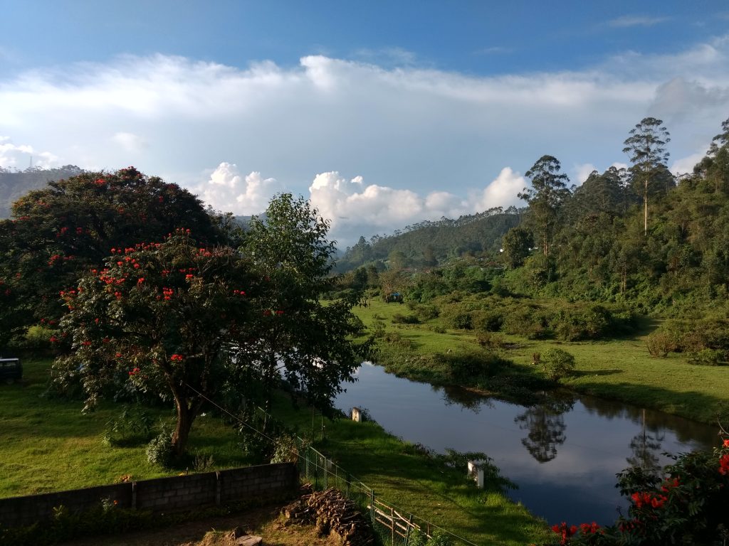
Mudrapuzha River
The Mudrapuzha River (officially spelled Muthirapuzha) is one of the most vital geographic features of Munnar. It is not just a body of water; it is one of the three mountain streams (alongside Nallathanni and Kundala) that converge in the center of town to give Munnar its name, which literally translates to “Three Rivers” (Moonu Aaru in Malayalam).
1. Historical Context of the Mudrapuzha River
The Mudrapuzha has played a central role in shaping the destiny, infrastructure, and landscape of Munnar over the last 150 years.
- The Blueprint for the Name: Long before British engineers or Scottish tea planters arrived, the native Muthuvan tribe recognized the strategic significance of the point where the Mudrapuzha met the other two streams. The confluence became the geographical marker for the entire region.
- India’s First Hydroelectric Milestone (1900): The British quickly realized the immense hydraulic energy generated by the fast-flowing mountain streams. In 1900, the Kannan Devan Hills Produce (KDHP) Company harnessed the waters of the Mudrapuzha river system to build Pallivasal, which became the first major hydroelectric project in Kerala. It initially powered the tea factories and aerial ropeways of the region, long before electricity was common in the plains.
- The Catastrophe of the 1924 Floods: The Mudrapuzha is historically linked to Munnar’s darkest hour. During the legendary Great Flood of 1924 (the 99-ile Vellappokkam), a cloudburst caused the Mudrapuzha and its tributaries to swell to catastrophic levels. The raging waters completely washed away the Kundala Valley Railway line, destroyed bridges, flooded the entire Munnar township, and permanently redrew the local geography.
- Lifeblood of the Valleys: Post-1924, when the British rebuilt Munnar, they built dams and reservoirs along the Mudrapuzha basin. Today, it acts as a major tributary to the Periyar River (Kerala’s longest river), supplying essential water to the dense tea estates, power grids, and local agricultural communities downstream.