
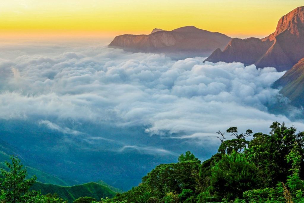
Top Station In Munnar
Top Station is the highest point along the Munnar-Kodaikanal highway, sitting at an impressive altitude of roughly 1,700 meters (5,510 feet) above sea level. Perched precisely on the border between the Idukki district of Kerala and the Theni district of Tamil Nadu, it is legendary for its low-hanging clouds and sweeping views of the Western Ghats.
Historical Context & Background
1. The Three-Tier Transit System (Origin of Name)
The name Top Station dates back to the early 20th century and is entirely functional. During the British colonial tea boom, the Kanan Devan Hills produced immense quantities of tea that needed to be exported back to Europe. Transporting heavy tea chests down the precipitous mountain cliffs was a logistical nightmare.
To solve this, the British constructed a highly sophisticated, multi-stage transport network:
- Bottom Station: Located at the base of the hills in Kottagudi, Tamil Nadu.
- Central Station: The midway point up the cliffside.
- Top Station: The highest terminal of the historic Kundala Valley Railway and the primary overhead ropeway station.
Tea chests were transported from Munnar factories to Top Station via a monorail (later upgraded to a narrow-gauge railway), transferred onto an aerial ropeway system, and lowered down the sheer cliff to Bottom Station. From there, bullock carts and later trains carried the cargo to the port of Thoothukudi (Tuticorin).
2. The 1924 Catastrophe & Abandonment
Top Station was the crowning jewel of Munnar’s industrial infrastructure until July 1924. The historic Great Flood of 99 brought catastrophic landslides that completely washed away the Kundala Valley Railway lines, bridges, and engine houses.
Instead of rebuilding the expensive rail lines, the colonial planters shifted to motorable roads for transport. While the rail tracks and ropeway stations were dismantled, the location permanently kept the name “Top Station.”
3. Home of the Rare Neelakurinji
Historically and ecologically, Top Station is part of the native habitat for the legendary Neelakurinji (Strobilanthes kunthiana) flower. These unique violet-blue shrubs blanket the high-altitude hills around Top Station in a massive blossom event that happens only once every 12 years, drawing global botanists and travelers.