
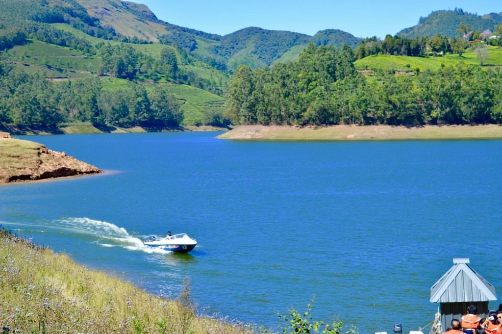
Mattupetty Dam and Lake,
Mattupetty Dam and Lake, located just 13 km from Munnar town along the highway to Top Station, sits at a breathtaking altitude of 1,700 meters (5,577 feet). This massive concrete gravity dam is surrounded by mist-covered valleys, manicured tea estates, and deep Shola forests, making it one of the premier tourist hotspots in the Idukki district.
1. Historical Context of Mattupetty Dam
The creation of the Mattupetty Dam marks an important chapter in post-independence India’s infrastructure and agricultural development.
- Post-Independence Power Generation (1949–1953): Following India’s independence, the newly formed state government prioritized clean energy. Construction of the Mattupetty Dam began in 1949 and was successfully commissioned in 1953 under the umbrella of the historic Pallivasal Hydro-electric Project. It stands 83.35 meters tall and stretches 237.74 meters across the valley.
- The Taming of Three Streams: The dam was strategically engineered to block and store water at the exact convergence point of three powerful mountain streams: the Muthirapuzha River, the Chanduvarai River, and the Kundala River. By collecting water from this vast 105 sq. km catchment area, it created a massive perennial reservoir—Mattupetty Lake—ensuring a steady water supply for downstream electricity generation and local valley irrigation year-round.
- The “Cattle Village” Revolution (1963): In the 1960s, the history of Mattupetty took a unique international turn. In 1963, a bilateral agreement was signed between the Government of India and the Swiss Confederation, giving birth to the Indo-Swiss Livestock Project right in the valleys of Mattupetty.
- The Legacy: Swiss experts and Indian agriculturalists established a sprawling 191-hectare research center and dairy farm. They successfully cross-bred local cattle with high-yielding Swiss breeds (like Brown Swiss), transforming the region into a thriving, highly automated dairy hub.